It’s a watery realm few ever see...

Join us as we explore the waterways of eastern Choctawhatchee Bay. While in the neighborhood, we wander off on a couple of detours—the first into the spectacular Gulf Intracoastal Waterway, the second up the little-known waters of the Choctawhatchee Watershed.

boat in the choctawhatchee river

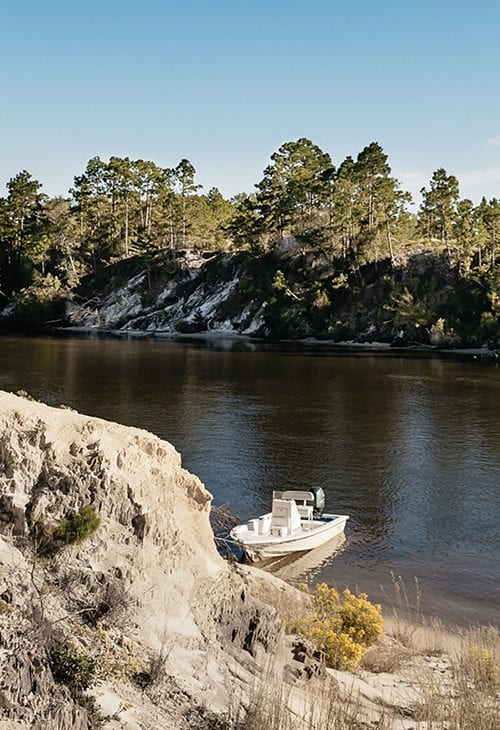
CHOCTAWHATCHEE WATERSHED

It’s a watery realm few ever see, a largely untouched network of rivers and creeks where little has changed over the decades.

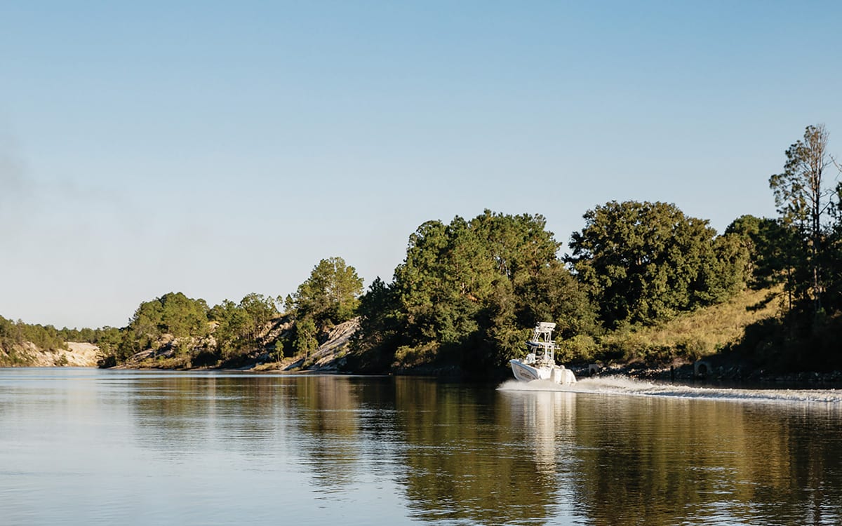
The headwaters of the Choctawhatchee watershed begin in southern Alabama where small streams pick up a cargo of sediment on a journey toward the Gulf of Mexico. They quickly become a lattice of tributaries that slowly swell and as they wind their way southward, ultimately forming a delta in the southern-most reaches.

Near Choctawhatchee Bay, the network of creeks is knitted together by sloughs, ponds and untouched swampland. Here you can find yellow water lilies, pickerelweed, arrow grass, bullrush and even wild rice. The seemingly primordial alligator gar can be seen sunning themselves on the surface of brackish water while below you’ll find entire populations of gamefish, including Southern flounder, striped mullet, sturgeon, tarpon and the occasional bull shark.

The last few miles of the watershed become increasingly influenced by the tide, alternately swelling and draining the swamplands with each cycle. The streams also become brackish, with freshwater species giving way to saltwater species. Finally, the streams and rivers meet the Bay.


GULF INTRACOASTAL WATERWAY

Work on the Gulf Intracoastal Waterway began in fits and starts in the 1920s. Its purpose was both commercial and military: to create a contiguous stretch of protected waters for shipping along the northern Gulf Coast. When completed, it would extend 1,300 miles from Brownsville, Texas to Carabelle, Florida on Apalachee Bay. But the most challenging and expensive section would be saved for last.

This final section was the 26-mile canal that had to be cut between Choctawhatchee Bay and St. Andrew Bay. Within this stretch was an eight-mile

section that would be, by far, the most difficult of this incredibly challenging cut—an area called “The Little Grand Canyon.” This part of the cut begins just a few miles into the canal from the Choctawhatchee Bay side.

The canal was the last of the Gulf Intracoastal Waterway to be undertaken and wouldn’t be completed until 1938. Today it is open to navigation for commercial traffic—mainly barges—and recreational boats.

boat in the choctawhatchee river